GRAVEYARD DEVELOPMENT AND MAPS
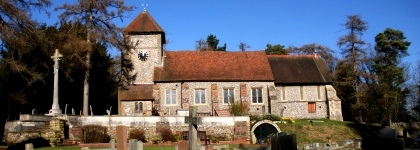
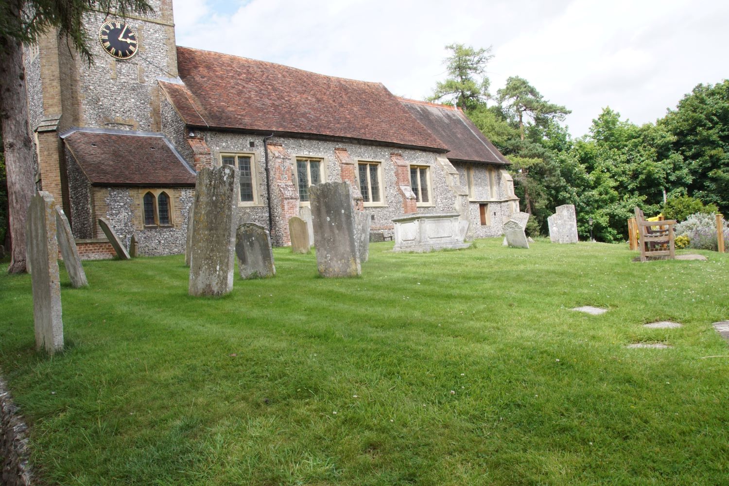
The original Churchyard, the area immediately surrounding the church, 0.35 acres in extent, was probably in use as the Parish Burial Ground by 1000 A.D.
As headstones were not customary until the eighteenth century, and then only for the wealthy, It served the needs of the parish until 1854. This was when the first extension of the churchyard took place round the North and West sides of the original ground. This still pre-dated Farnborough becoming an independent parish.
Many further areas have been added to the churchyard over the years, with the most recent being the major extension in 1995. These are shown in this modern map, which also shows the original position of the churchyard entrance - this changed when the level of the road was lowered. see panel to the right..
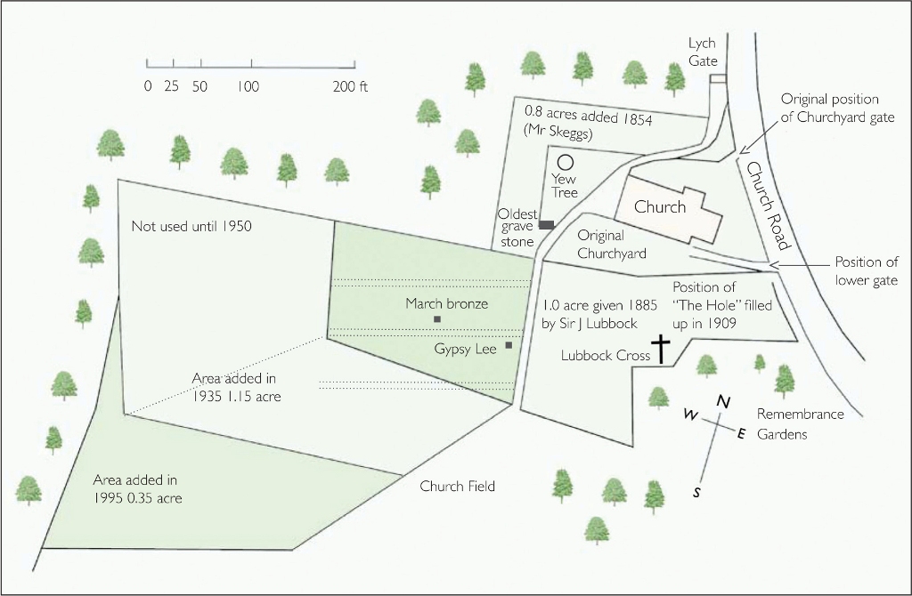 Churchyard Map, click to enlarge |
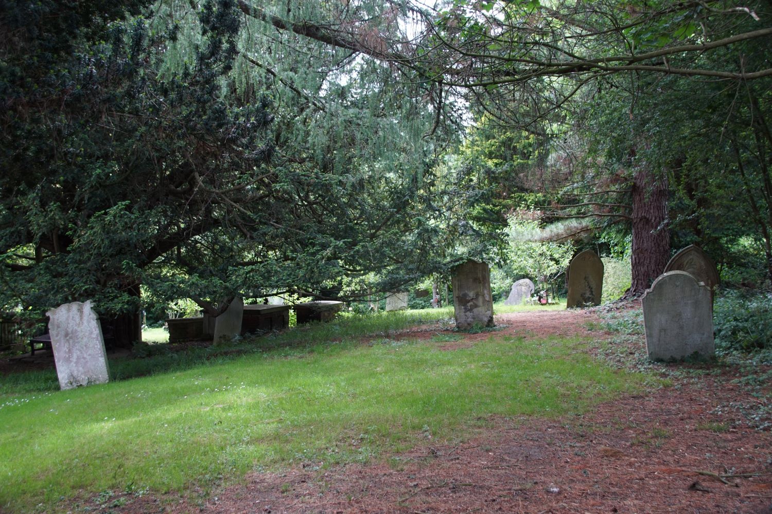
Old Graveyard
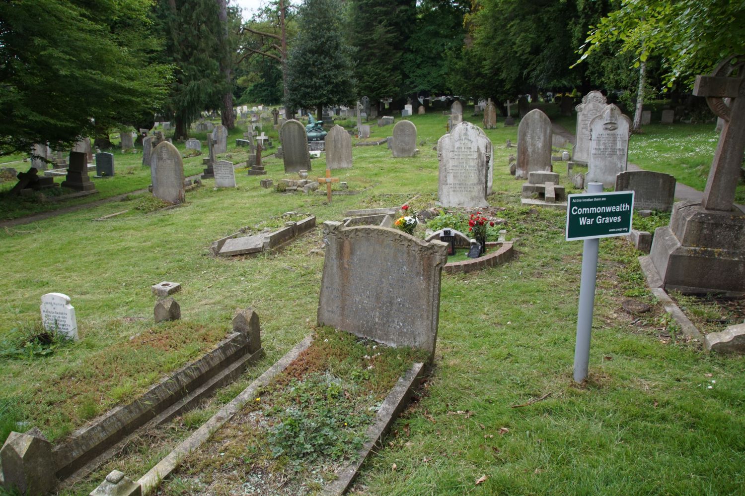
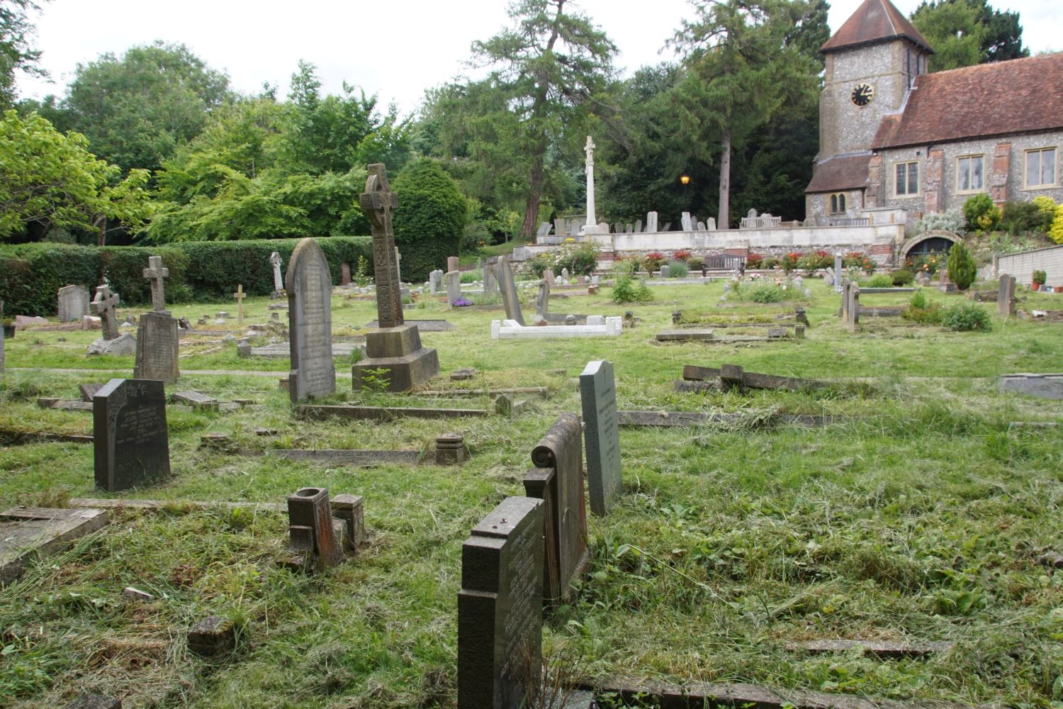
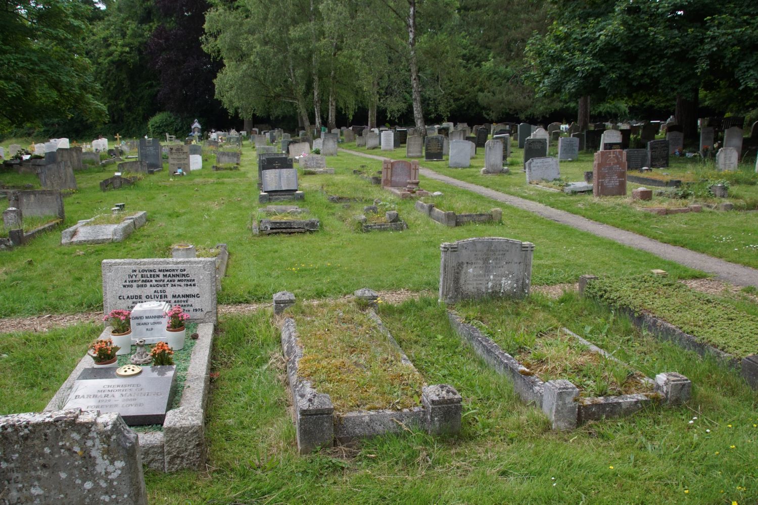
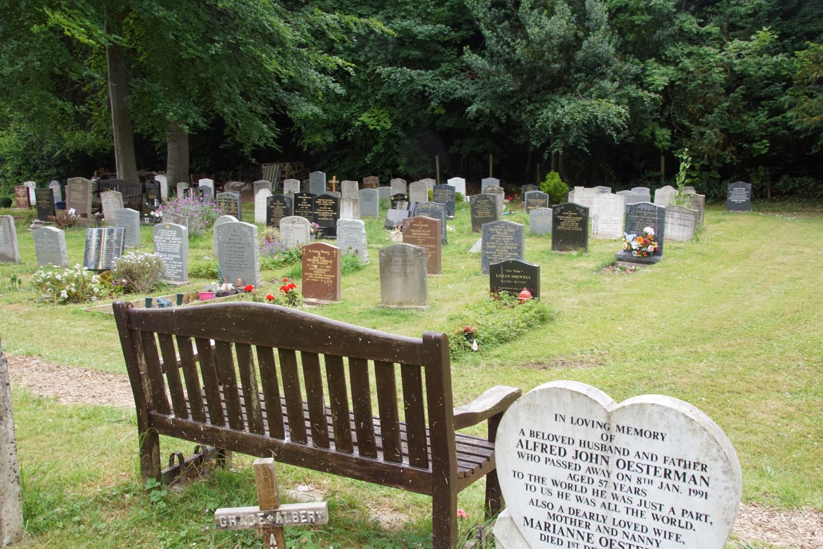
The original area plus its 1854 extension are known today as the 'Old Graveyard'. It is thought that it ceased to be used routinely for new graves from 1887, but further burials in existing graves continued until the Second World War and, very occasionally, even today.At that time the land that today forms the main graveyard was still part of the High Elms estate, owned by the Lubbock family
 |
 |
 |
 |
 |
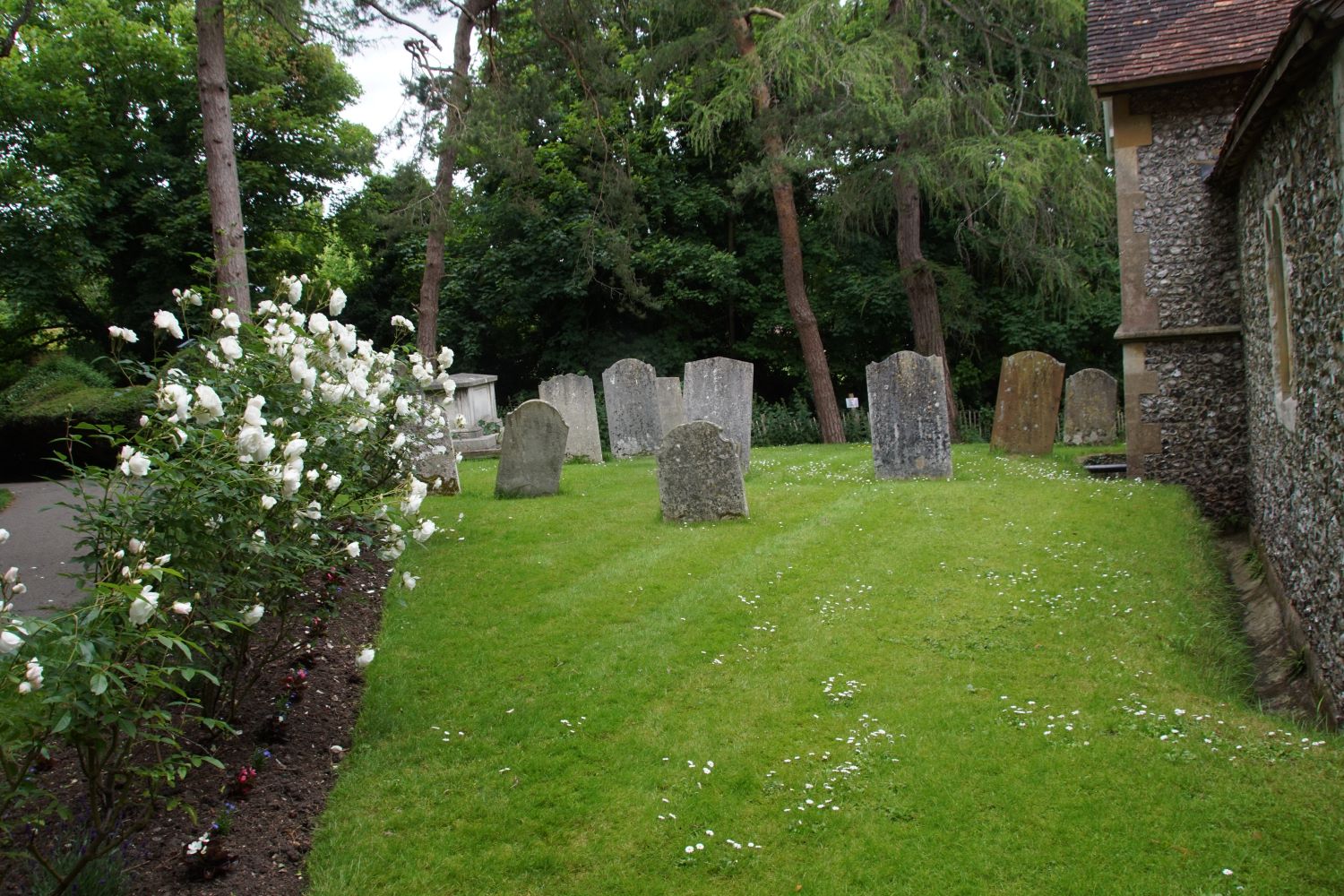 |
We do not have any details of where burials in the old graveyard took place, apart from those on a map published in 1919, and archived by the Kent Archaeological Society These were integrated into the St. Giles records during 2012.
New Graveyard
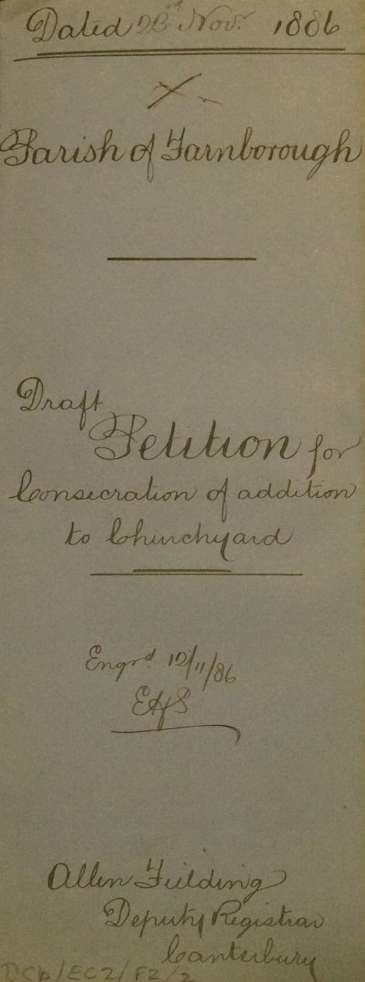
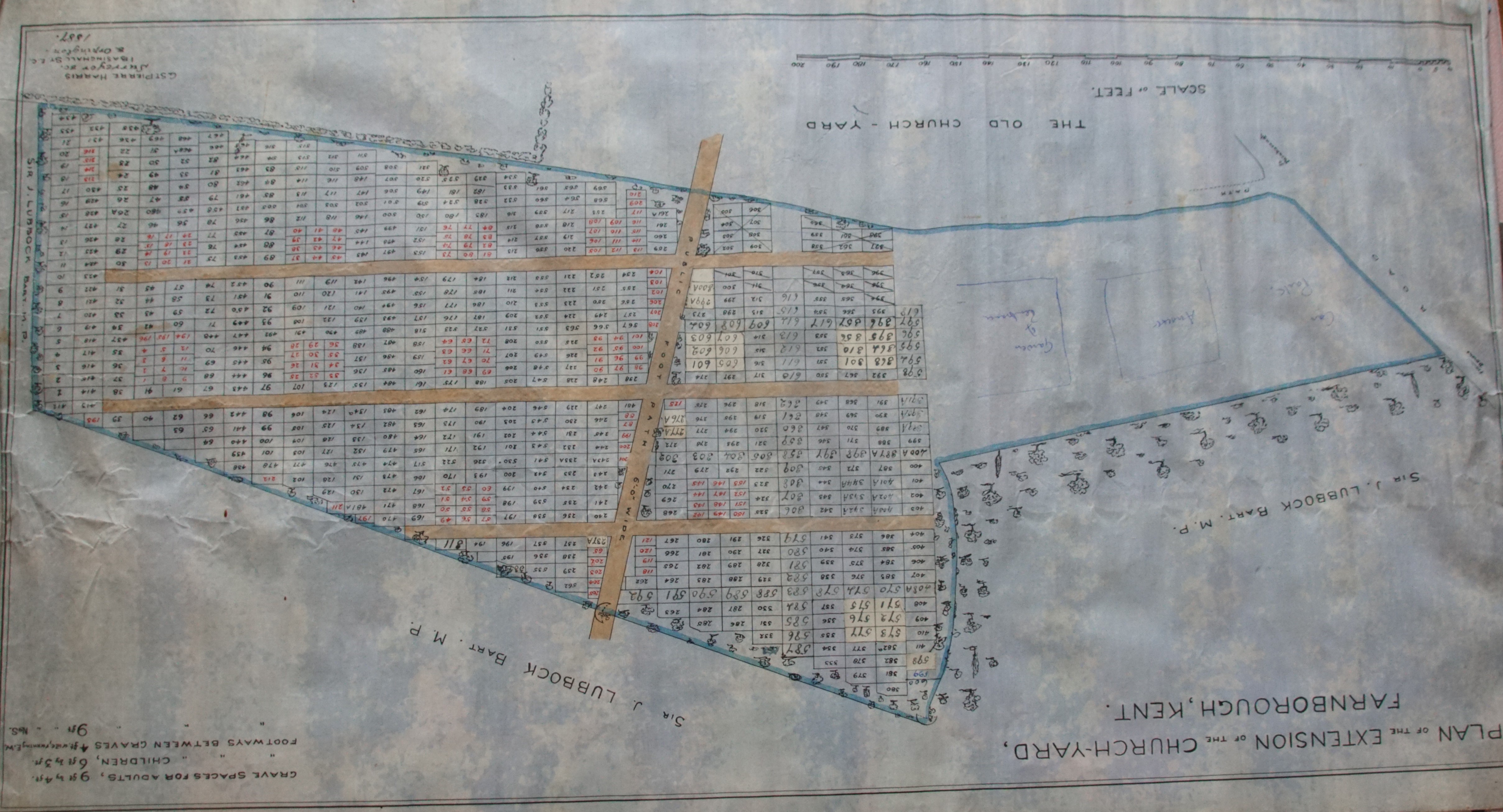
Once Farnborough became a full parish in 1885 an arrangement was made to purchase land from the Lubbock family to extend the graveyard.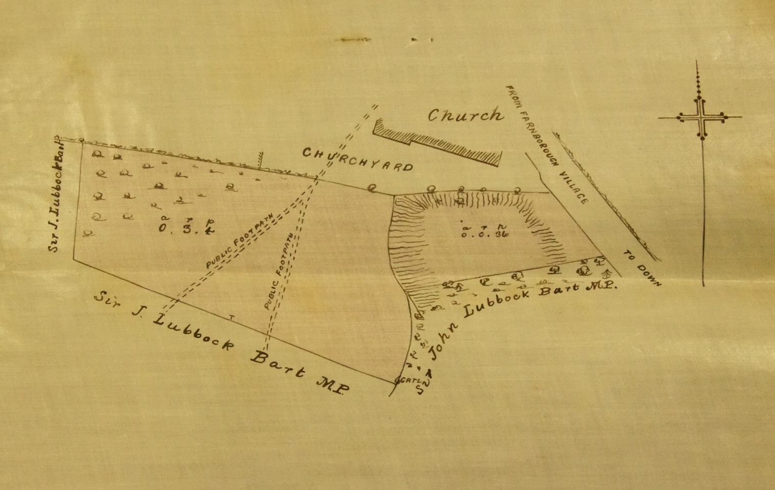
The plan above shows what is now part of the main graveyard before purchase, and to the right is the cover page from the purchase petition. Both are dated 1885.
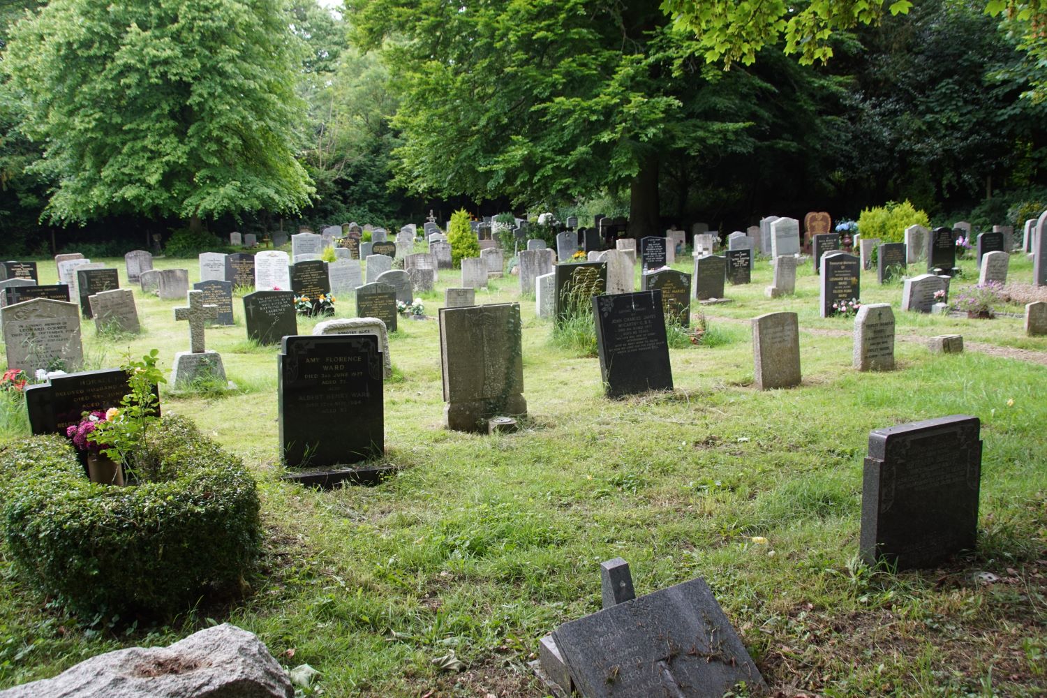
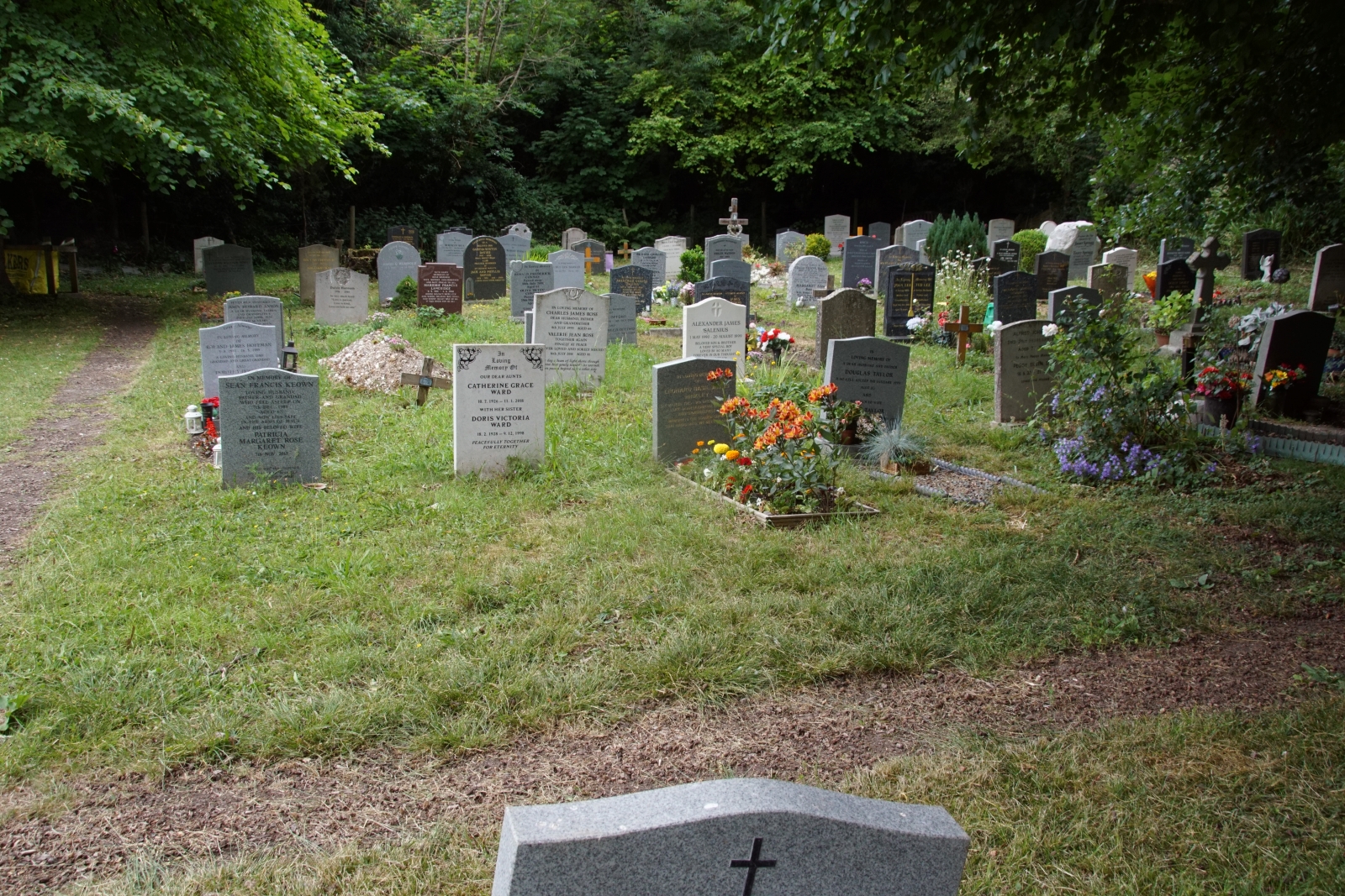
This map is dated 1887 and shows the same area, howerver upside-down, with Church Fields at the top (south). However while the map itself is dated 1887, the layourt and numbering of graves accurately reflects the usage of the area through to 1935 by which time it was full, This included the filling in of what had beenlaid out as paths, also the use of what were originally intended to be child grave areas for adult-sized graves. For these reasons the numbering of graves is not sequential through the whole of the area.
This further map is undated but shows the same area set into a wider context principally the church.. It includes features added in 1909, but does not show the war memorial, which was constructed in 1922. It shows the original intended layout of graves in the churchyard, although note that the numbers shown do not reflect actual grave numbers.
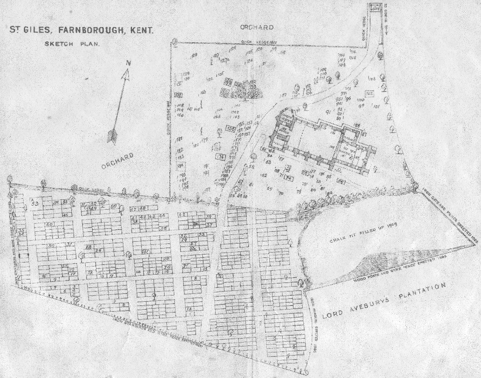 |
The pressure for space led to most of
the north-south and some of the east-west pathways being abandoned and
the space used for further burials. This explains the
somewhat disjointed grave numbering pattern in that part
of the graveyard. Note the intricate interweaving of adult and child graves, showing that child mortality at the beginning of the last century was far higher than now. |
The part of this area immediately to the south of the church had been used for chalk extraction. It was not brought into use for graves until about 1925, after it had been filled in and leveled.
 |
 |
Many child graves never had memorial headstones erected, so these areas today mainly form small clearings between the many surviving memorial headstones in adult graves. However it would also seem that some at least of these areas reserved for child graves never in fact got used.
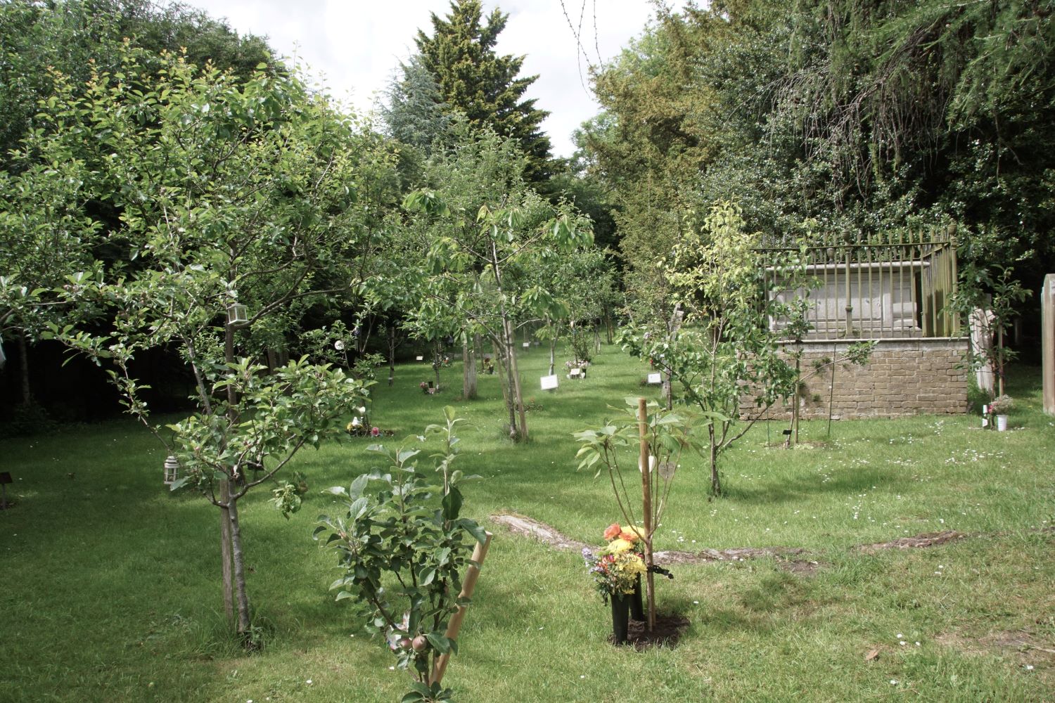
1935 Extension
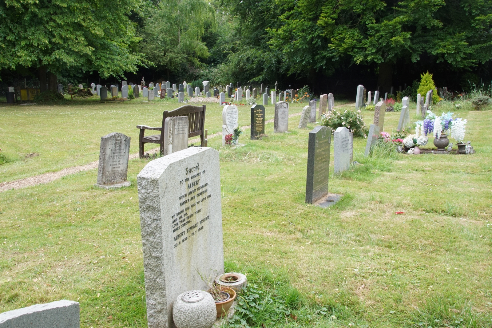
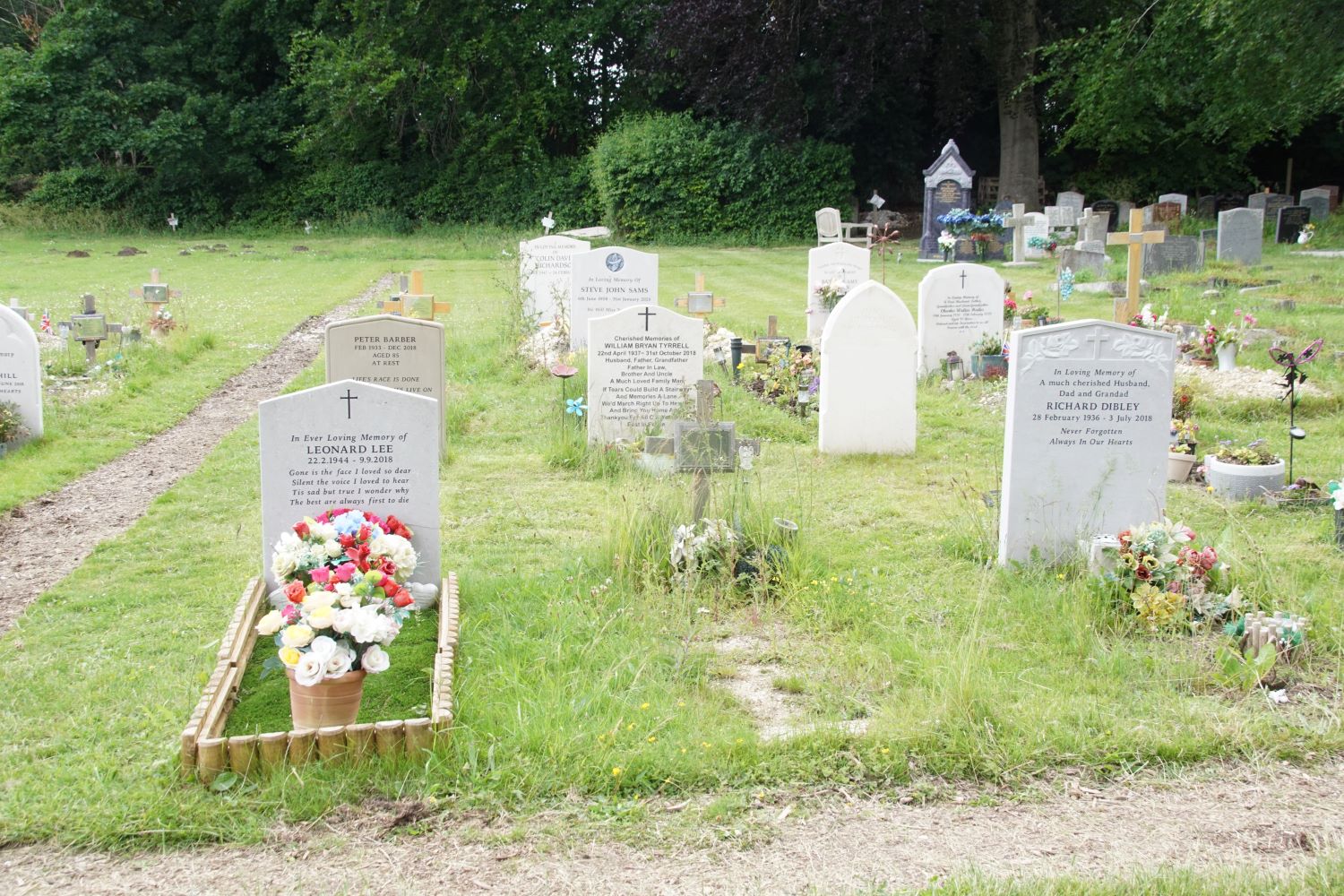
The largest extension was agreed in 1935, and is shown in the lightter colour in the map at the top of this page. It was brought into use in two phases. The part below the diagonal line started to be used immediately after transfer, initially in parallel with new burials also taking place in the part directly south of the church.
 |
 |
The remaining part started to be used in about 1970 after woodland had been fully cleared.
 |
 |
 |
 |
Despite the substantial amount of land added in 1935, it eventually became clear that a further extension would be needed. See panel to the right.
PARISH HISTORY
1995 Churchyard Extension
The final extension was made in 1995, by agreement with Bromley
Council who had by now taken over what had been the Lubbock estate. This was brought into use in 2001 and has parts to either side of the southern-most path in the graveyard
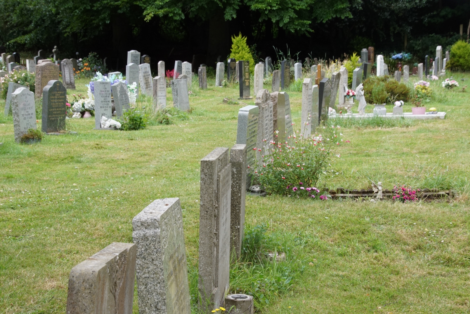
The 1995 extension
incorporates an area for child graves, which is nearly
full. A further area for child graves has been identified,
to be brought into use when needed.
Fortunately, unlike in
past times, grave burials for children are today very infrequent.
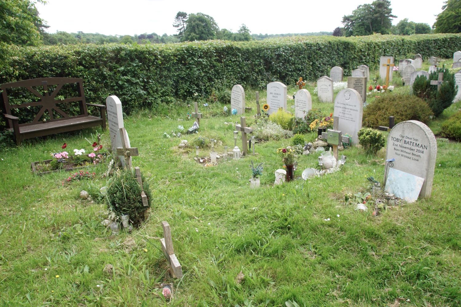
As can be seen from the photographs the 1995 extension is
bordered by an impressive and well kept new hedge separating it from
the common..
Burial and Grave Registers
From 1538 the names of people buried in the Churchyard, have been recorded in a Burial Register, but it is only since 1885 that a Grave Register has been kept, which records where a person is buried,.Burial registers prior to 1990 are now archived in Bromley Local Studies Library. Grave Registers are still active documents and are detailed in three volumes, which can be inspected by appointment with the Parish Office.
There is a link to the master spreadsheet of burials and cremations on the Registers page of this website.
Original Churchyard Entrance
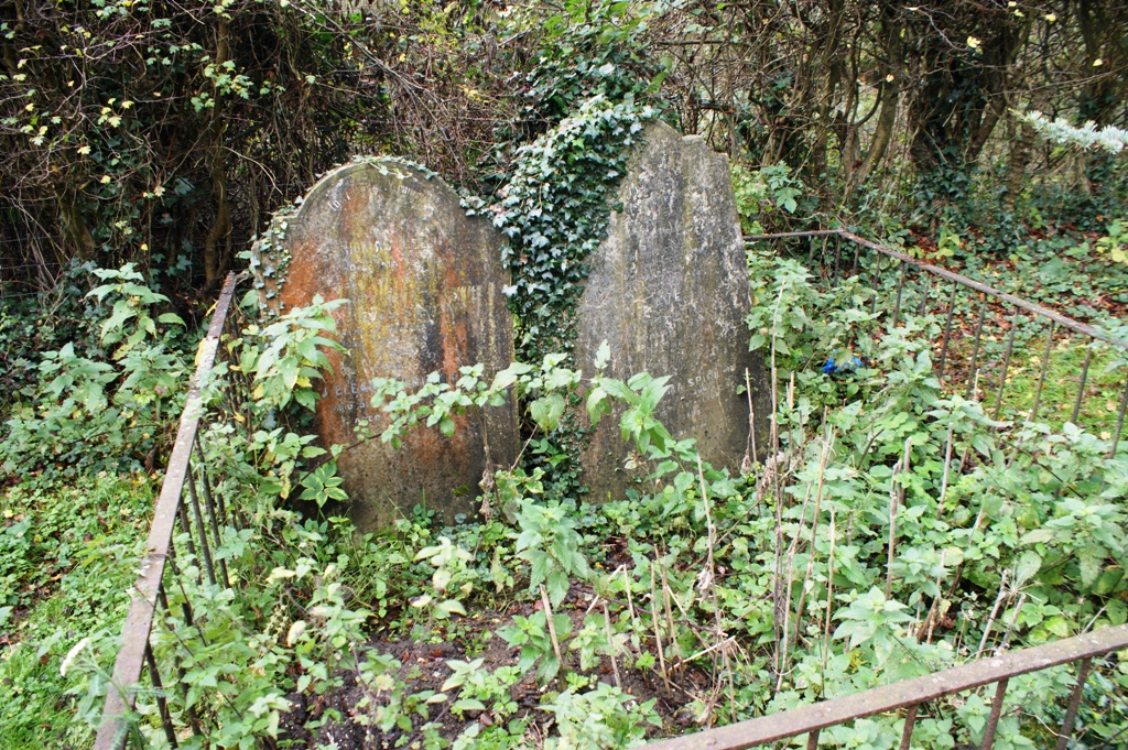
The original ‘Church Gate’ (not called a Lych Gate) was some fifty feet nearer the church than the present one. it was in a position now occupied by this Skeggs tomb, which is later than the graves around it.
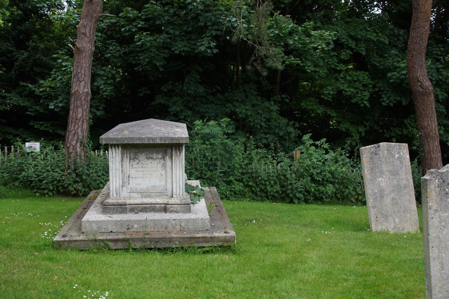
The reason for the move was that n 1833 the level of the road running past St Giles church was lowered to make passage easier for horse-drawn coaches. This is why the road now sinks below the level of the ground to either side at this point.
This is a good example of a table tomb which, although it has
lost its original railings, would have been similar to those
retained by two other examples near the church door. The present
Lych Gate was erected in 1902 as a memorial to Rachel Fox.
Purchase Petition 1886
This is the 'petition' to purchase the first area in what is today known as the 'New Graveyard'